01
Route planning
The route and restricted areas are defined in advance on an interactive map.

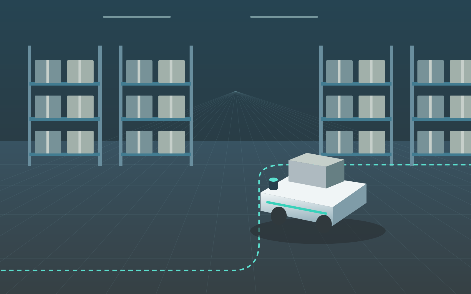
Autonomous mobile robot navigation for logistics, industry, inspection, firefighting, construction and agriculture. Route planning, 3D mapping and obstacle avoidance in one system.
The operator defines the route, restricted areas and task scenario. The system then executes the task autonomously, monitors platform status and responds to obstacles.
The route and restricted areas are defined in advance on an interactive map.
Return to start or continue the task according to the selected scenario.
Local navigation after initial positioning in an open area.
Telemetry, battery level, heading, position and sensor temperature.
A 3D model of route geometry and a 2D obstacle map.
Real-time recognition of static and moving objects.
The operator defines waypoints and marks restricted areas before the task begins.

Behavior is defined by the operator before start and executed autonomously after the control link is lost.
The platform autonomously plans a route back to its start point and safely completes the task.
The system follows the predefined route and completes the task without operator control.
Continuous monitoring of critical platform and equipment parameters.

An interactive 3D scene explains how LiDAR measures distances and builds a point cloud. Rotate the scene and switch between views.
Rotate the scene and watch LiDAR turn surfaces into 3D data.
The sensor scans the surrounding space.
The pulse reflects off a surface.
Measurements form a 3D map.
Move the light crate to recalculate the route. Start the robot to see it navigate around the obstacle.
The system combines task preparation, autonomous movement, local perception and telemetry into a single operational cycle.
The route, waypoints and restricted areas are defined by the operator before operation.
The platform follows the task scenario while monitoring heading, position and system status.
3D/2D mapping and detection of static and moving obstacles operate in real time.
If the link is lost, the system returns to start or continues the task according to the selected scenario.
Civil applications for a pilot deployment. Configuration depends on the robot, environment and requirements of your facility.
Move materials between receiving, storage and picking areas.
The operator selects the pickup and delivery points.
The robot follows the warehouse route and avoids a crate in the aisle.
It stops at the unloading area; the operator sees route completion.
The load reaches the selected destination.
Repeat routes between workstations and deliver components.
The operator selects a route between two work areas.
The platform carries components while monitoring its status.
After unloading, it returns to the start according to the selected workflow.
One delivery-and-return cycle is complete.
Follow inspection routes and collect spatial data.
The operator defines inspection waypoints.
The robot follows the route and collects LiDAR measurements.
The operator reviews the point cloud and site geometry.
Spatial data is available for the completed route.
Navigate a robotic platform for site reconnaissance and equipment delivery. Map the surroundings to plan access routes.
The operator sets the destination and excludes restricted areas.
The firefighting platform follows an available route around obstacles.
It stops at the selected point for equipment handover.
Equipment reaches the handover point.
Deliver tools and materials, follow site inspection routes and create 3D maps of work areas.
The operator defines a route and marks areas closed to traffic.
The robot transports tools and avoids materials along the way.
It stops beside the work area for unloading.
Tools arrive at the work area.
Navigate orchard and field rows, transport supplies and collect spatial data for site surveys.
The operator sets the row endpoints and return route.
The platform travels between rows while accounting for visible obstacles.
It returns to the start; the operator reviews the route and system status.
The row inspection cycle is complete.
Tell us about your robot and facility. Together we will define the route, operating conditions and scope of a pilot demonstration.